 Biological Specimens Database
Functions
BIODAT collections can be opened at different systematic levels, e.g. at the phylum-, class- or ordinal-level.
Data entries are supported by systematic and geographic catalogues. Both catalogues can fully operate with synonyms. They can easily be extended or modified (even during data entry of specimens), and also include other lists such as authors and determinators lists.
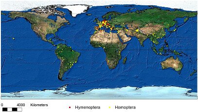 Specimen data are fully referenced in time and space (latitude /longitude information) thus providing an easy data transfer to and mapping in a geographic information systems (GIS). An example is given with data from the ZFMK Homoptera collection (developed in cooperation with the DORSA-project):
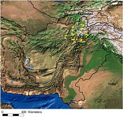
1. With GIS one can easily zoom into the world map and enlarge special areas and/or change the background information by using different shapes (e.g. present distribution of tropical rainforests [TR] can be compared directly with historical findings of specimens characteristic for TR).
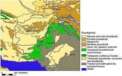
2. The mapping of the distribution of specimens or taxa can be superimposed with other layers providing additional information such as environmental data, country boarders, rivers etc.